
Carte topographique Thành phố Phan Rang–Tháp Chàm
Carte interactive
Cliquez sur la carte pour afficher l’altitude.
À propos de cette carte
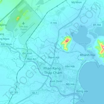
Nom : Carte topographique Thành phố Phan Rang–Tháp Chàm, altitude, relief.
Lieu : Thành phố Phan Rang–Tháp Chàm, Ninh Thuận, Vietnam (11.53009 108.92033 11.67487 109.03516)
Altitude moyenne : 13 m
Altitude minimum : -1 m
Altitude maximum : 333 m
Autres cartes topographiques
Cliquez sur une carte pour visualiser sa topographie, son altitude et son relief.
Tà Lú
Vietnam > Ninh Thuận > Huyện Bác Ái > Phước Đại
Tà Lú, Phước Đại, Huyện Bác Ái, Ninh Thuận, Vietnam
Altitude moyenne : 322 m
Bác Ái
Vietnam > Ninh Thuận > Huyện Bác Ái
Bác Ái, Huyện Bác Ái, Ninh Thuận, Vietnam
Altitude moyenne : 322 m