
Carte topographique Magnolia
Carte interactive
Cliquez sur la carte pour afficher l’altitude.
À propos de cette carte
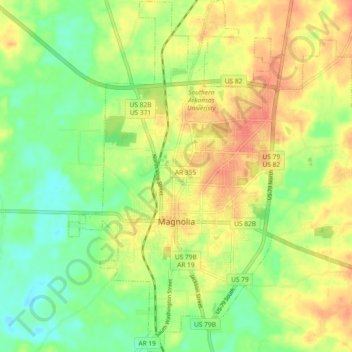
Nom : Carte topographique Magnolia, altitude, relief.
Lieu : Magnolia, Columbia County, Arkansas, États-Unis d'Amérique (33.23838 -93.26766 33.31554 -93.18919)
Altitude moyenne : 91 m
Altitude minimum : 66 m
Altitude maximum : 117 m