
Carte topographique Villahermosa
Carte interactive
Cliquez sur la carte pour afficher l’altitude.
À propos de cette carte
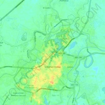
Nom : Carte topographique Villahermosa, altitude, relief.
Lieu : Villahermosa, Centro, Tabasco, Mexique (17.95718 -92.98751 18.04632 -92.88503)
Altitude moyenne : 9 m
Altitude minimum : 0 m
Altitude maximum : 29 m