Géolocaliser

Carte topographique Landeck

Carte interactive

Cliquez sur la carte pour afficher l’altitude.

À propos de cette carte
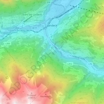
Nom : Carte topographique Landeck, altitude, relief.

Lieu : Landeck, Bezirk Landeck, 6500, Austria (47.09818 10.52642 47.15665 10.60537)

Altitude moyenne : 1 325 m

Altitude minimum : 764 m

Altitude maximum : 2 582 m

Landeck is located in the Tyrolean Oberland in the west of the state at an elevation of about 820 m (2,690 ft). The town is situated in the valley of the Inn River at the confluence with the Sanna tributary, between the Lechtal Alps, part of the Northern Limestone Alps in the north, and the Ötztal Alps and Samnaun Alps ranges of the Central Eastern Alps in the south.

Wikipedia (CC-BY-SA 3.0)

Autres cartes topographiques

Cliquez sur une carte pour visualiser sa topographie, son altitude et son relief.

Schönwies

Austria > Bezirk Landeck

Schönwies, Bezirk Landeck, 6491, Austria

Altitude moyenne : 1 567 m

See

Austria > Bezirk Landeck

See, Bezirk Landeck, Austria

Altitude moyenne : 2 201 m

Galtür

Austria > Bezirk Landeck

Galtür, Bezirk Landeck, 6563, Austria

Altitude moyenne : 2 355 m