
Carte topographique Bhuj
Carte interactive
Cliquez sur la carte pour afficher l’altitude.
À propos de cette carte
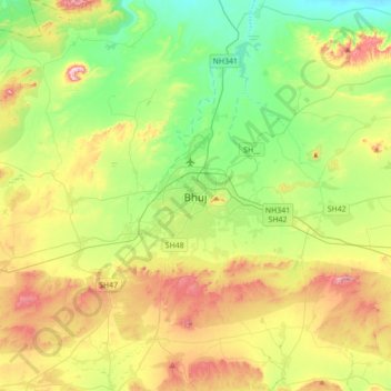
Nom : Carte topographique Bhuj, altitude, relief.
Lieu : Bhuj, Bhuj Taluka, Kutch, Gujarat, 370001, Inde (23.08724 69.50834 23.40724 69.82834)
Altitude moyenne : 130 m
Altitude minimum : 10 m
Altitude maximum : 336 m