
Carte topographique Villa Imperial de Potosí
Carte interactive
Cliquez sur la carte pour afficher l’altitude.
À propos de cette carte
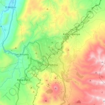
Nom : Carte topographique Villa Imperial de Potosí, altitude, relief.
Altitude moyenne : 4 048 m
Altitude minimum : 3 367 m
Altitude maximum : 5 017 m