
Carte topographique Lakeland Highlands
Carte interactive
Cliquez sur la carte pour afficher l’altitude.
À propos de cette carte
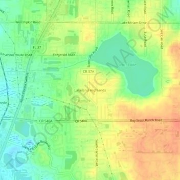
Nom : Carte topographique Lakeland Highlands, altitude, relief.
Lieu : Lakeland Highlands, Polk County, Florida, 33831, USA (27.93975 -81.97008 27.97975 -81.93008)
Altitude moyenne : 63 m
Altitude minimum : 41 m
Altitude maximum : 84 m