
Carte topographique Ooststellingwerf
Carte interactive
Cliquez sur la carte pour afficher l’altitude.
À propos de cette carte
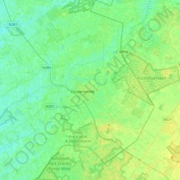
Nom : Carte topographique Ooststellingwerf, altitude, relief.
Lieu : Ooststellingwerf, Frise, Pays-Bas (52.90636 6.08485 53.07528 6.42761)
Altitude moyenne : 8 m
Altitude minimum : 0 m
Altitude maximum : 24 m
Autres cartes topographiques
Cliquez sur une carte pour visualiser sa topographie, son altitude et son relief.