
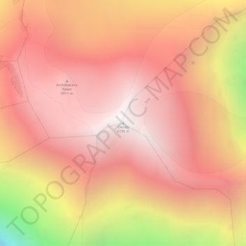
Carte topographique Denali
Carte interactive
Cliquez sur la carte pour afficher l’altitude.
Denali
Le Denali, appelé mont McKinley de 1896 à 2015, est une montagne s'élevant à 6 190 mètres d'altitude dans la chaîne d'Alaska, dans l'État du même nom aux États-Unis. Il constitue le point culminant de l'Amérique du Nord et fait donc partie des sept sommets. Il est couvert de glaciers.
À propos de cette carte
Nom : Carte topographique Denali, altitude, relief.
Lieu : Denali, Alaska, États-Unis d'Amérique (63.06907 -151.00629 63.06917 -151.00619)
Altitude moyenne : 5 546 m
Altitude minimum : 4 151 m
Altitude maximum : 6 170 m