
Carte topographique Unorganized Kenora District
Carte interactive
Cliquez sur la carte pour afficher l’altitude.
À propos de cette carte
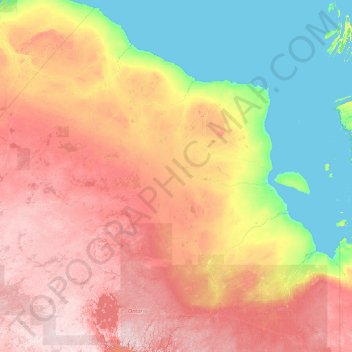
Nom : Carte topographique Unorganized Kenora District, altitude, relief.
Altitude moyenne : 156 m
Altitude minimum : -2 m
Altitude maximum : 561 m
Autres cartes topographiques
Cliquez sur une carte pour visualiser sa topographie, son altitude et son relief.
Sunday Lake
Canada > Ontario > Unorganized Kenora District
Sunday Lake, Highway 665, Unorganized Kenora District, Kenora District, Ontario, Canada
Altitude moyenne : 399 m