
Carte topographique Oldeholtwolde
Carte interactive
Cliquez sur la carte pour afficher l’altitude.
À propos de cette carte
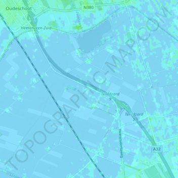
Nom : Carte topographique Oldeholtwolde, altitude, relief.
Lieu : Oldeholtwolde, Weststellingwerf, Friesland, Nederland (52.89230 5.94791 52.93400 6.02178)
Altitude moyenne : 0 m
Altitude minimum : -4 m
Altitude maximum : 7 m
Autres cartes topographiques
Cliquez sur une carte pour visualiser sa topographie, son altitude et son relief.
Noordwolde
Nederland > Friesland > Weststellingwerf > Noordwolde
Noordwolde, Weststellingwerf, Friesland, Nederland
Altitude moyenne : 4 m
Spanga
Nederland > Friesland > Weststellingwerf
Spanga, Weststellingwerf, Friesland, Nederland
Altitude moyenne : 0 m