
Carte topographique Montfoort
Carte interactive
Cliquez sur la carte pour afficher l’altitude.
À propos de cette carte
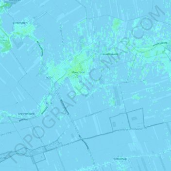
Nom : Carte topographique Montfoort, altitude, relief.
Lieu : Montfoort, Utrecht, Nederland (52.01001 4.90497 52.06756 5.01801)
Altitude moyenne : 0 m
Altitude minimum : -4 m
Altitude maximum : 4 m
Autres cartes topographiques
Cliquez sur une carte pour visualiser sa topographie, son altitude et son relief.
Huis Te Linschoten
Nederland > Utrecht > Montfoort
Huis Te Linschoten, Montfoort, Utrecht, Nederland, 3461AC, Nederland
Altitude moyenne : 0 m