
Carte topographique Milne Land
Carte interactive
Cliquez sur la carte pour afficher l’altitude.
À propos de cette carte
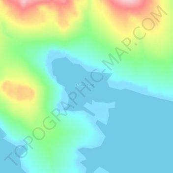
Nom : Carte topographique Milne Land, altitude, relief.
Lieu : Milne Land, Sermersooq, Greenland (70.52491 -26.03020 70.53420 -25.99790)
Altitude moyenne : 39 m
Altitude minimum : -3 m
Altitude maximum : 160 m
Autres cartes topographiques
Cliquez sur une carte pour visualiser sa topographie, son altitude et son relief.
Traill-iup Immikkeertivi
Traill-iup Immikkeertivi, Sermersooq, Greenland
Altitude moyenne : 0 m
Geographical Society Island
Geographical Society Island, Sermersooq, Greenland
Altitude moyenne : 178 m