
Carte topographique Aishalton
Carte interactive
Cliquez sur la carte pour afficher l’altitude.
À propos de cette carte
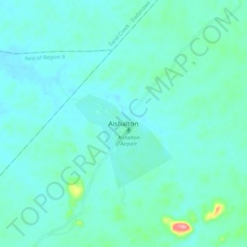
Nom : Carte topographique Aishalton, altitude, relief.
Altitude moyenne : 168 m
Altitude minimum : 149 m
Altitude maximum : 287 m
Aishalton village is located in the Rupununi savannah lands in the South of Guyana, at an altitude of 187 metres. Neighbouring villages are Karaudarnau to the west and Awarewaunau to the east. Lethem, the regional capital of the Upper Takutu-Upper Essequibo region, is situated 180 km north west of Aishalton; and Dadanawa Ranch is located approximately halfway between these two centres.