
Carte topographique Fort McMurray
Carte interactive
Cliquez sur la carte pour afficher l’altitude.
À propos de cette carte
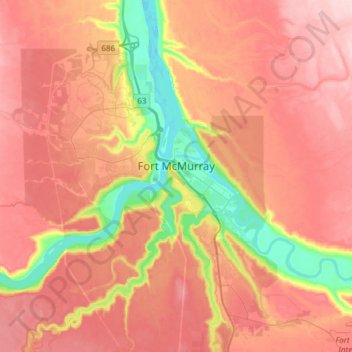
Nom : Carte topographique Fort McMurray, altitude, relief.
Lieu : Fort McMurray, Division No. 16, Alberta, Canada (56.64375 -111.51094 56.80447 -111.20705)
Altitude moyenne : 345 m
Altitude minimum : 234 m
Altitude maximum : 422 m
The community lies at a lower elevation than most other parts of Alberta, so under the right conditions it can be a "hot spot" for Alberta.