
Carte topographique Baldoyle
Carte interactive
Cliquez sur la carte pour afficher l’altitude.
À propos de cette carte
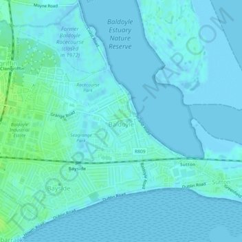
Nom : Carte topographique Baldoyle, altitude, relief.
Altitude moyenne : 2 m
Altitude minimum : -2 m
Altitude maximum : 10 m
A description of Baldoyle from Lewis's Topographical Dictionary of Ireland (Dublin, 1837) gives a useful summary of what was then a substantial rural fishing village: