
Carte topographique Mount Judi
Carte interactive
Cliquez sur la carte pour afficher l’altitude.
Mount Judi
The Arabic word al-Jūdiyy (ٱلْجُودِيّ), originates from the Syriac word Gudo (ܓܘܕܐ) meaning "Mounds" or "Elevations". The relation of some of the spellings is clear. The origin of Judi is less clear. It is usually interpreted as a corrupted version of the same name, via Al-Gurdi (Reynolds 2004). The proposal that the two names are ultimately the same was first advanced by the English Orientalist George Sale in his translation of the Qur'an published in 1734. Sale's footnote reads.
À propos de cette carte
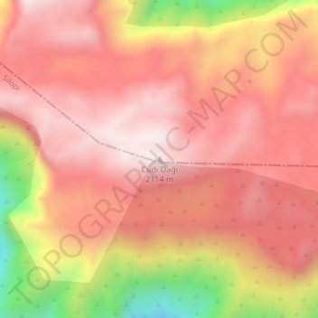
Nom : Carte topographique Mount Judi, altitude, relief.
Lieu : Mount Judi, Şırnak, Southeastern Anatolia Region, Turkey (37.37748 42.45426 37.37758 42.45436)
Altitude moyenne : 1 904 m
Altitude minimum : 1 464 m
Altitude maximum : 2 110 m