
Carte topographique lou Pra la Sello
Carte interactive
Cliquez sur la carte pour afficher l’altitude.
À propos de cette carte
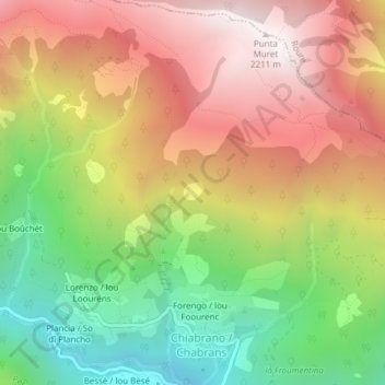
Nom : Carte topographique lou Pra la Sello, altitude, relief.
Lieu : lou Pra la Sello, Chabrans, Perrero, Turin, Piémont, Italie (44.95759 7.10003 44.95872 7.10182)
Altitude moyenne : 1 568 m
Altitude minimum : 914 m
Altitude maximum : 2 202 m