
Carte topographique Rajpura
Carte interactive
Cliquez sur la carte pour afficher l’altitude.
À propos de cette carte
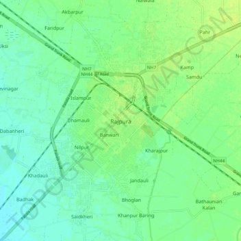
Nom : Carte topographique Rajpura, altitude, relief.
Lieu : Rajpura, Rajpura Tahsil, Patiala, Punjab, 140401, India (30.43769 76.55377 30.51769 76.63377)
Altitude moyenne : 270 m
Altitude minimum : 263 m
Altitude maximum : 277 m
Rajpura is located at 30°29′N 76°36′E / 30.48°N 76.6°E / 30.48; 76.6. It has an average elevation of 259 metres (849 feet). Rajpura is situated nearly 38 km south west of Chandigarh, the capital city of Punjab. Besides being an important industrial town of Punjab, it also has historical importance.