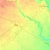
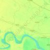
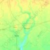
Carte topographique Meerut
Cliquez sur la carte pour afficher l’altitude.
À propos de cette carte
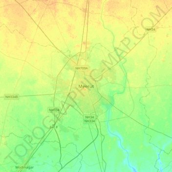
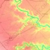
Nom : Carte topographique Meerut, altitude, relief.
Lieu : Meerut, Meerut District, Uttar Pradesh, 250003, India (28.82265 77.54810 29.14265 77.86810)
Altitude moyenne : 225 m
Altitude minimum : 214 m
Altitude maximum : 236 m
Autres cartes topographiques
Cliquez sur une carte pour visualiser sa topographie, son altitude et son relief.

Pilibhit
The northeastern boundary of the reserve is the Sharda river (Nepali: Mahakali River) which defines the Indo-Nepal border, while the southwest boundary is marked by the River Sharda and the River Ghaghara. The reserve has a core zone area of 602.79 km2 (232.74 sq mi) and a buffer zone area of 127.45 km2 (49.21…
Altitude moyenne : 177 m


Jaunpur
The topography of the district is a flat plain undulating with shallow river valleys. The main permanently flowing rivers are the Gomti and the Sai. The rivers of Jaunpur flow from northwest to southeast and the land slopes in the same direction. Thus, there is a more elevated area in the northwest and a less…
Altitude moyenne : 87 m

Etah
Eta is located at 27.63 ° N 78.67 ° E. [4] It has an average elevation of 170 m (557 ft). The Eisen River flows behind the village Ghazipur Pahor. Etah is a district in the Aligarh division of Uttar Pradesh province, India. It is bounded by Kasganj in the north, Mainpuri and Firozabad in the south,…
Altitude moyenne : 168 m