
Carte topographique Altona
Carte interactive
Cliquez sur la carte pour afficher l’altitude.
Altona
The hamlet of Altona is located in the northern part of the town of Altona at 44°53′24″N 73°39′9″W / 44.89000°N 73.65250°W / 44.89000; -73.65250 (44.890096, -73.65272). The Great Chazy River flows along the southeastern edge of the hamlet, dropping 150 feet (46 m) in elevation in 1.7 miles (2.7 km). The Ganienkeh Community of the Mohawk people is southwest of the hamlet.
À propos de cette carte
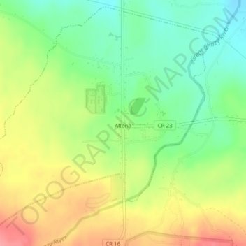
Nom : Carte topographique Altona, altitude, relief.
Altitude moyenne : 196 m
Altitude minimum : 157 m
Altitude maximum : 243 m