
Carte topographique FFH Mittleres Zwickauer Muldetal (Teilfläche 4: Wiese bei Bräunsdorf)
Carte interactive
Cliquez sur la carte pour afficher l’altitude.
À propos de cette carte
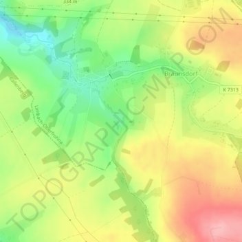
Nom : Carte topographique FFH Mittleres Zwickauer Muldetal (Teilfläche 4: Wiese bei Bräunsdorf), altitude, relief.
Altitude moyenne : 326 m
Altitude minimum : 265 m
Altitude maximum : 386 m