
Carte topographique Chatti
Carte interactive
Cliquez sur la carte pour afficher l’altitude.
À propos de cette carte
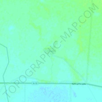
Nom : Carte topographique Chatti, altitude, relief.
Lieu : Chatti, Gwadar District, Balochistan, Pakistan (25.27127 62.24438 25.31127 62.28438)
Altitude moyenne : 12 m
Altitude minimum : 8 m
Altitude maximum : 17 m