
Carte topographique Lake Titus
Carte interactive
Cliquez sur la carte pour afficher l’altitude.
À propos de cette carte
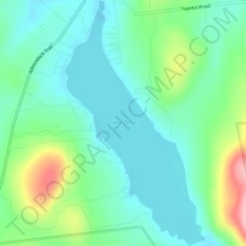
Nom : Carte topographique Lake Titus, altitude, relief.
Altitude moyenne : 463 m
Altitude minimum : 419 m
Altitude maximum : 589 m
Autres cartes topographiques
Cliquez sur une carte pour visualiser sa topographie, son altitude et son relief.
Village of Malone
United States > New York > Franklin County > Town of Malone
Village of Malone, Town of Malone, Franklin County, New York, United States
Altitude moyenne : 234 m