
Carte topographique Village of Montebello
Carte interactive
Cliquez sur la carte pour afficher l’altitude.
Village of Montebello
Numerous winter activities exist along with active wildlife and forestry conservation projects. Guided tours available by the Park Rangers. There is a diverse topography, from flat wetlands to rolling hills, to steep mountainside. The Mahwah River flows southwesterly the length of the park approximately 2,500 feet (760 m). The Ramapo Fault runs through the park. Trees include willow, apple, poplar, white pine, hemlock, beech, maple, white ash, oaks, and dogwood.
À propos de cette carte
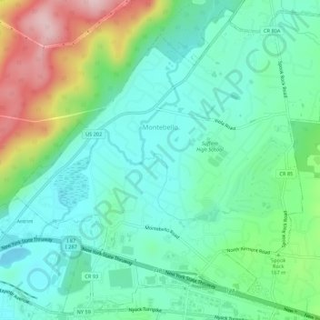
Nom : Carte topographique Village of Montebello, altitude, relief.
Altitude moyenne : 149 m
Altitude minimum : 77 m
Altitude maximum : 330 m