
Carte topographique Ban Thung Setthi
Carte interactive
Cliquez sur la carte pour afficher l’altitude.
À propos de cette carte
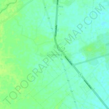
Nom : Carte topographique Ban Thung Setthi, altitude, relief.
Altitude moyenne : 80 m
Altitude minimum : 74 m
Altitude maximum : 87 m
Autres cartes topographiques
Cliquez sur une carte pour visualiser sa topographie, son altitude et son relief.
Tha Makhuea
Thailand > Kamphaeng Phet Province > Tha Makhuea
Tha Makhuea, Kamphaeng Phet Province, Thailand
Altitude moyenne : 58 m