
Carte topographique Ferrel
Carte interactive
Cliquez sur la carte pour afficher l’altitude.
À propos de cette carte
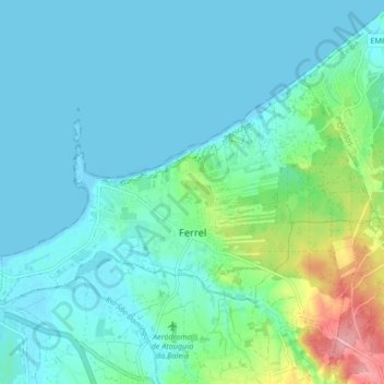
Nom : Carte topographique Ferrel, altitude, relief.
Lieu : Ferrel, Peniche, Leiria, Oeste, Centro, Portugal (39.35120 -9.36056 39.39103 -9.27686)
Altitude moyenne : 21 m
Altitude minimum : -2 m
Altitude maximum : 116 m
Autres cartes topographiques
Cliquez sur une carte pour visualiser sa topographie, son altitude et son relief.