
Carte topographique Peshāwar District
Carte interactive
Cliquez sur la carte pour afficher l’altitude.
À propos de cette carte
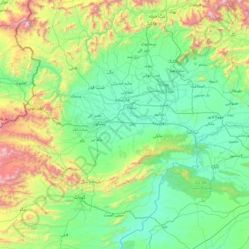
Nom : Carte topographique Peshāwar District, altitude, relief.
Lieu : Peshāwar District, Khyber Pakhtunkhwa, Pakistan (33.30000 71.05000 34.70000 72.45000)
Altitude moyenne : 684 m
Altitude minimum : 219 m
Altitude maximum : 2 749 m