
Carte topographique Knott County
Carte interactive
Cliquez sur la carte pour afficher l’altitude.
À propos de cette carte
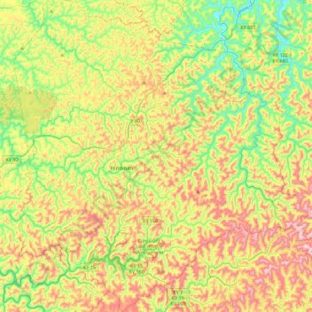
Nom : Carte topographique Knott County, altitude, relief.
Lieu : Knott County, Kentucky, Vereinigte Staaten von Amerika (37.17245 -83.13484 37.52606 -82.71095)
Altitude moyenne : 412 m
Altitude minimum : 198 m
Altitude maximum : 717 m