
Carte topographique Oliktok Point
Carte interactive
Cliquez sur la carte pour afficher l’altitude.
À propos de cette carte
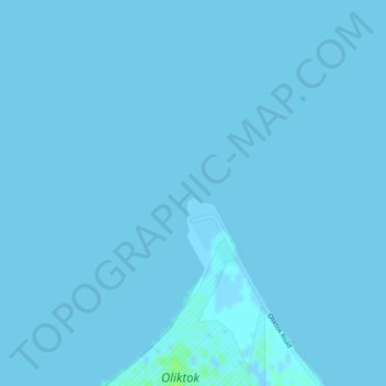
Nom : Carte topographique Oliktok Point, altitude, relief.
Lieu : Oliktok Point, North Slope, Alaska, United States (70.51297 -149.87064 70.51307 -149.87054)
Altitude moyenne : 0 m
Altitude minimum : -2 m
Altitude maximum : 7 m
Autres cartes topographiques
Cliquez sur une carte pour visualiser sa topographie, son altitude et son relief.
Footprint Lake
United States > Alaska > North Slope > Utqiaġvik
Footprint Lake, Utqiaġvik, North Slope, Alaska, United States
Altitude moyenne : 8 m
Point Barrow
United States > Alaska > North Slope
Point Barrow, North Slope, Alaska, United States
Altitude moyenne : 0 m
Thunder Creek
United States > Alaska > North Slope
Thunder Creek, North Slope, Alaska, United States
Altitude moyenne : 731 m
Wainwright
United States > Alaska > North Slope > Wainwright
Wainwright, North Slope, Alaska, 99782, United States
Altitude moyenne : 3 m
Howe Island
United States > Alaska > North Slope
Howe Island, North Slope, Alaska, United States
Altitude moyenne : 0 m