
Carte topographique Bay Roberts
Carte interactive
Cliquez sur la carte pour afficher l’altitude.
À propos de cette carte
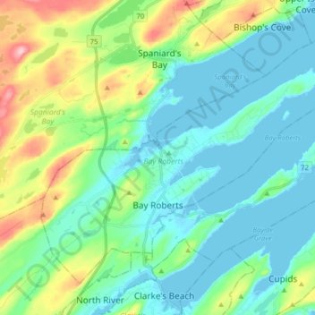
Nom : Carte topographique Bay Roberts, altitude, relief.
Lieu : Bay Roberts, Newfoundland, Newfoundland and Labrador, Canada (47.54937 -53.34185 47.63418 -53.18438)
Altitude moyenne : 52 m
Altitude minimum : -4 m
Altitude maximum : 216 m