
Carte topographique Ghiacciaio di Cherillon
Carte interactive
Cliquez sur la carte pour afficher l’altitude.
À propos de cette carte
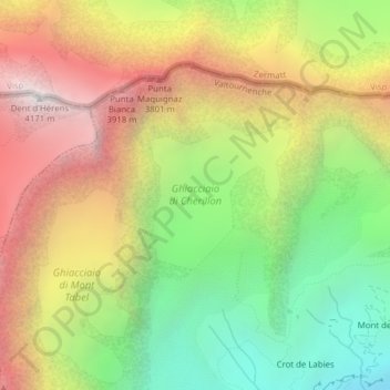
Nom : Carte topographique Ghiacciaio di Cherillon, altitude, relief.
Lieu : Ghiacciaio di Cherillon, Valtournenche, Aosta Valley, Italy (45.95813 7.61593 45.96847 7.63003)
Altitude moyenne : 3 155 m
Altitude minimum : 2 235 m
Altitude maximum : 4 158 m