
Carte topographique Engelberger Rotstock
Carte interactive
Cliquez sur la carte pour afficher l’altitude.
À propos de cette carte
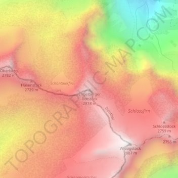
Nom : Carte topographique Engelberger Rotstock, altitude, relief.
Lieu : Engelberger Rotstock, Isenthal, Uri, 6461, Svizzera (46.85373 8.49777 46.85383 8.49787)
Altitude moyenne : 2 375 m
Altitude minimum : 1 493 m
Altitude maximum : 2 879 m
Autres cartes topographiques
Cliquez sur une carte pour visualiser sa topographie, son altitude et son relief.