
Carte topographique Mariana Islands
Carte interactive
Cliquez sur la carte pour afficher l’altitude.
À propos de cette carte
Nom : Carte topographique Mariana Islands, altitude, relief.
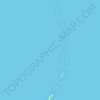
Altitude moyenne : 0 m
Altitude minimum : 0 m
Altitude maximum : 874 m
The island chain geographically consists of two subgroups, a northern group of ten volcanic main islands, all are currently uninhabited; and a southern group of five coralline limestone islands (Rota, Guam, Aguijan, Tinian and Saipan), all inhabited except Aguijan. In the northern volcanic group a maximum elevation of about 2,700 feet (820 m) is reached; there are craters showing signs of activity, and earthquakes are not uncommon. Coral reefs fringe the coasts of the southern isles, which are of slight elevation.
Autres cartes topographiques
Cliquez sur une carte pour visualiser sa topographie, son altitude et son relief.
Guam
United States > Guam > Chalan Pago-Ordot Municipality
Guam, Chalan Pago-Ordot Municipality, Guam, United States
Altitude moyenne : 26 m