
Carte topographique Dromathacker
Carte interactive
Cliquez sur la carte pour afficher l’altitude.
À propos de cette carte
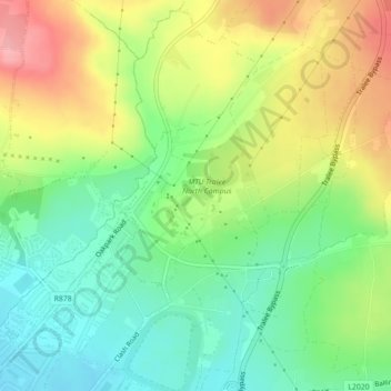
Nom : Carte topographique Dromathacker, altitude, relief.
Lieu : Dromathacker, Ratass, Tralee, County Kerry, Munster, Ireland (52.28230 -9.67958 52.29426 -9.66206)
Altitude moyenne : 63 m
Altitude minimum : 16 m
Altitude maximum : 128 m