
Carte topographique Idanha-a-Velha
Carte interactive
Cliquez sur la carte pour afficher l’altitude.
À propos de cette carte
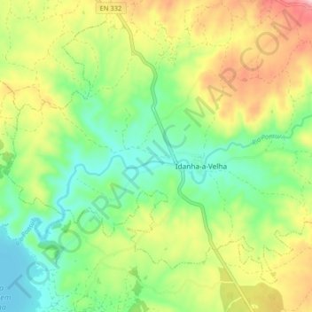
Nom : Carte topographique Idanha-a-Velha, altitude, relief.
Lieu : Idanha-a-Velha, Idanha-a-Nova, Castelo Branco, Portugal (39.97284 -7.19338 40.02359 -7.11264)
Altitude moyenne : 343 m
Altitude minimum : 247 m
Altitude maximum : 493 m