
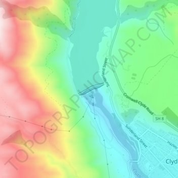
Carte topographique Clyde Dam
Carte interactive
Cliquez sur la carte pour afficher l’altitude.
À propos de cette carte
Nom : Carte topographique Clyde Dam, altitude, relief.
Altitude moyenne : 318 m
Altitude minimum : 135 m
Altitude maximum : 623 m
Autres cartes topographiques
Cliquez sur une carte pour visualiser sa topographie, son altitude et son relief.
Muttontown
New Zealand > Otago > Central Otago District > Vincent Community > Clyde
Muttontown, Clyde, Vincent Community, Central Otago District, Otago, 9391, New Zealand
Altitude moyenne : 207 m