
Carte topographique Clyde Hill
Carte interactive
Cliquez sur la carte pour afficher l’altitude.
À propos de cette carte
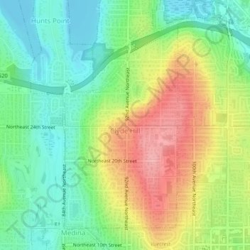
Nom : Carte topographique Clyde Hill, altitude, relief.
Altitude moyenne : 48 m
Altitude minimum : 0 m
Altitude maximum : 118 m
The top elevation is close to 375 feet. There are approximately 21 miles of public roadway that make Clyde Hill very centrally located within the Seattle - Bellevue metro area.