
Carte topographique Kaohsiung
Carte interactive
Cliquez sur la carte pour afficher l’altitude.
À propos de cette carte
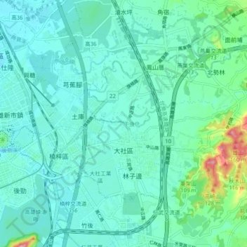
Nom : Carte topographique Kaohsiung, altitude, relief.
Lieu : Kaohsiung, 大社區, 815, Taïwan (22.70910 120.33412 22.76645 120.41190)
Altitude moyenne : 29 m
Altitude minimum : 4 m
Altitude maximum : 148 m
Autres cartes topographiques
Cliquez sur une carte pour visualiser sa topographie, son altitude et son relief.