
Carte topographique Mabaruma - Kumaka - Hosororo
Carte interactive
Cliquez sur la carte pour afficher l’altitude.
À propos de cette carte
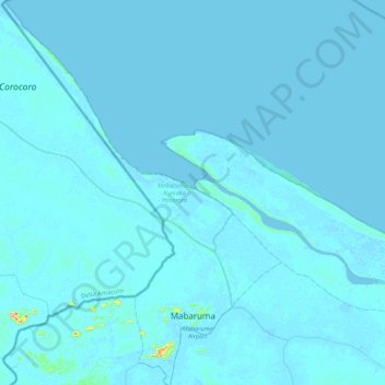
Nom : Carte topographique Mabaruma - Kumaka - Hosororo, altitude, relief.
Altitude moyenne : 2 m
Altitude minimum : -2 m
Altitude maximum : 140 m
Mabaruma is the administrative centre and regional capital for Region One (Barima-Waini) of Guyana. It is located close to the Aruka River (the Venezuelan border) on a narrow plateau above the surrounding rainforest at an elevation of 13 metres.
Autres cartes topographiques
Cliquez sur une carte pour visualiser sa topographie, son altitude et son relief.
Baramita
Guyana > Barima-Waini > Baramita
Baramita, Rest of Region 1, Barima-Waini, Guyana
Altitude moyenne : 118 m