
Carte topographique Unnamed (No.HA565) Heritage Agreement
Carte interactive
Cliquez sur la carte pour afficher l’altitude.
À propos de cette carte
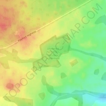
Nom : Carte topographique Unnamed (No.HA565) Heritage Agreement, altitude, relief.
Altitude moyenne : 194 m
Altitude minimum : 167 m
Altitude maximum : 215 m
Autres cartes topographiques
Cliquez sur une carte pour visualiser sa topographie, son altitude et son relief.
Kangaroo Island
Australia > South Australia > Kangaroo Island Council
Kangaroo Island, Kangaroo Island Council, South Australia, Australia
Altitude moyenne : 22 m