
Carte topographique Peachtree City
Carte interactive
Cliquez sur la carte pour afficher l’altitude.
À propos de cette carte
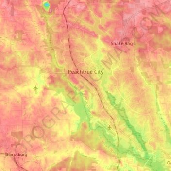
Nom : Carte topographique Peachtree City, altitude, relief.
Altitude moyenne : 263 m
Altitude minimum : 181 m
Altitude maximum : 310 m
Shakerag Hill, with an elevation of 980 feet (300 m), is the highest point in the city and sits on the eastern border at the intersection of GA Hwy 54 and Robinson Road.