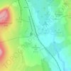
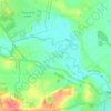
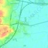
Carte topographique Whitley
Cliquez sur la carte pour afficher l’altitude.
À propos de cette carte

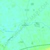
Nom : Carte topographique Whitley, altitude, relief.
Lieu : Whitley, North Yorkshire, England, United Kingdom (53.66370 -1.17926 53.69975 -1.12103)
Altitude moyenne : 10 m
Altitude minimum : 4 m
Altitude maximum : 65 m
Autres cartes topographiques
Cliquez sur une carte pour visualiser sa topographie, son altitude et son relief.






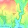
Farndale
United Kingdom > England > North Yorkshire > Ryedale > Gillamoor
With the population having decreased greatly from the 668 that is recorded in "A Topographical Dictionary of Yorkshire" by Thomas Lansdale published in 1822 when farndale East side had a population of 455 and Farndale West Side had a Population of 213.
Altitude moyenne : 273 m















Bolton Castle
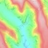
United Kingdom > England > North Yorkshire > Redmire > Castle Bolton
Altitude moyenne : 250 m


Thimbleby & Osmotherly Show field
United Kingdom > England > North Yorkshire > Thimbleby
Altitude moyenne : 152 m





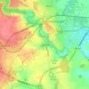
Killinghall
United Kingdom > England > North Yorkshire > Harrogate > Killinghall
Altitude moyenne : 86 m



Ribblesdale
United Kingdom > England > North Yorkshire > Horton in Ribblesdale
Altitude moyenne : 368 m