
Carte topographique 발왕산
Carte interactive
Cliquez sur la carte pour afficher l’altitude.
À propos de cette carte
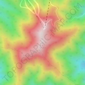
Nom : Carte topographique 발왕산, altitude, relief.
Altitude moyenne : 1 137 m
Altitude minimum : 808 m
Altitude maximum : 1 447 m
Autres cartes topographiques
Cliquez sur une carte pour visualiser sa topographie, son altitude et son relief.
Yongsan-ri
South Korea > Pyeongchang-gun > Daegwannyeong-myeon
Yongsan-ri, Daegwannyeong-myeon, Pyeongchang-gun, Gangwon, 25351, South Korea
Altitude moyenne : 851 m