
Carte topographique Feisnecksee
Carte interactive
Cliquez sur la carte pour afficher l’altitude.
À propos de cette carte
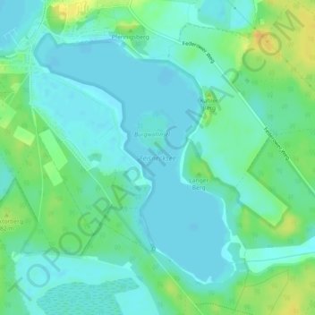
Nom : Carte topographique Feisnecksee, altitude, relief.
Altitude moyenne : 69 m
Altitude minimum : 60 m
Altitude maximum : 88 m
The Feisnecksee or Feisneck is a lake on the southeastern perimeter of the town of Waren in Mecklenburgische Seenplatte district in the German state of Mecklenburg-Western Pomerania. It lies at an elevation of 62.1 metres and its surface area is 1.94 km².