
Carte topographique Houston
Carte interactive
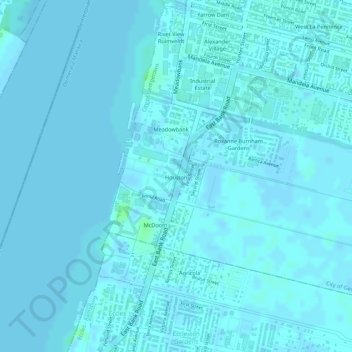
Cliquez sur la carte pour afficher l’altitude.
À propos de cette carte
Nom : Carte topographique Houston, altitude, relief.
Altitude moyenne : 1 m
Altitude minimum : -2 m
Altitude maximum : 8 m
Autres cartes topographiques
Cliquez sur une carte pour visualiser sa topographie, son altitude et son relief.
Vlissengen Square Promenade
Guyana > Demerara-Mahaica > City of Georgetown > North East La Penitence
Vlissengen Square Promenade, North East La Penitence, City of Georgetown, Eccles-Ramsburg Village District, Demerara-Mahaica, Guyana
Altitude moyenne : 2 m
Lacytown
Guyana > Demerara-Mahaica > City of Georgetown > Alberttown
Lacytown, Alberttown, City of Georgetown, Eccles-Ramsburg Village District, Demerara-Mahaica, Guyana
Altitude moyenne : 2 m