
Carte topographique Khardaha
Carte interactive
Cliquez sur la carte pour afficher l’altitude.
Khardaha
Khardaha is located at 22°43′N 88°23′E / 22.72°N 88.38°E / 22.72; 88.38.[4] It has an average elevation of 15 m (49 ft). It has a railway station on the Sealdah-Ranaghat section, sandwiched between Sodepur and Sukchar (to the south) and Titagarh (to the north). The railway station divides the town into two parts - the eastern part is known as Rahara, while the western part is known as Khardaha.
À propos de cette carte
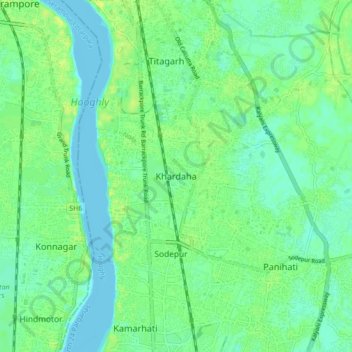
Nom : Carte topographique Khardaha, altitude, relief.
Altitude moyenne : 7 m
Altitude minimum : -3 m
Altitude maximum : 15 m