
Carte topographique 阿拉尔
Carte interactive
Cliquez sur la carte pour afficher l’altitude.
À propos de cette carte
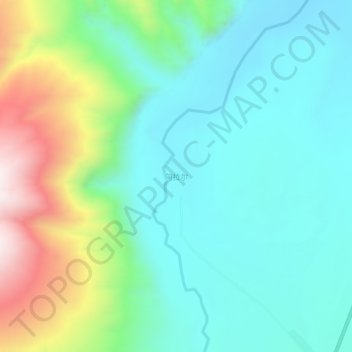
Nom : Carte topographique 阿拉尔, altitude, relief.
Lieu : 阿拉尔, 叶城县, 喀什地区, 新疆维吾尔自治区, 中国 (37.32263 77.10273 37.36263 77.14273)
Altitude moyenne : 2 238 m
Altitude minimum : 2 043 m
Altitude maximum : 2 767 m
Autres cartes topographiques
Cliquez sur une carte pour visualiser sa topographie, son altitude et son relief.