
Carte topographique Tianjingguan
Carte interactive
Cliquez sur la carte pour afficher l’altitude.
À propos de cette carte
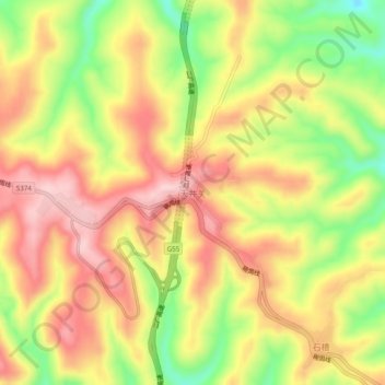
Nom : Carte topographique Tianjingguan, altitude, relief.
Lieu : Tianjingguan, Shanxi, China (35.33546 112.79331 35.37546 112.83331)
Altitude moyenne : 864 m
Altitude minimum : 738 m
Altitude maximum : 961 m
Autres cartes topographiques
Cliquez sur une carte pour visualiser sa topographie, son altitude et son relief.
Linfen
China > Shanxi > Jiefanglu Subdistrict
Linfen, Jiefanglu Subdistrict, Yaodu District, Linfen City, Shanxi, 041000, China
Altitude moyenne : 582 m
Jiexiu City
China > Shanxi > Jinzhong City
Jiexiu City, Jinzhong City, Shanxi, China
Altitude moyenne : 1 086 m