
Carte topographique Cresson
Carte interactive
Cliquez sur la carte pour afficher l’altitude.
Cresson
Cresson is a borough in Cambria County, Pennsylvania, United States. Cresson is 80 miles (130 km) east of Pittsburgh. It is above 2,000 feet (600 m) in elevation. Lumber, coal, and coke yards were industries that had supported the population, which numbered 1,470 in 1910. The borough is part of the Johnstown Metropolitan Statistical Area, although state and local sources list it as part of the Altoona area due to being much closer to that city. The population of Cresson at the 2010 census was 1,711.
À propos de cette carte
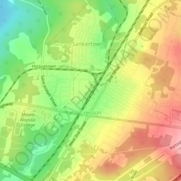
Nom : Carte topographique Cresson, altitude, relief.
Lieu : Cresson, Cambria County, Pennsylvania, 16630, United States (40.45771 -78.59770 40.46839 -78.57587)
Altitude moyenne : 637 m
Altitude minimum : 560 m
Altitude maximum : 712 m